Disclaimer: Copyright infringement not intended.
Context
Discovery Program
.jpeg)
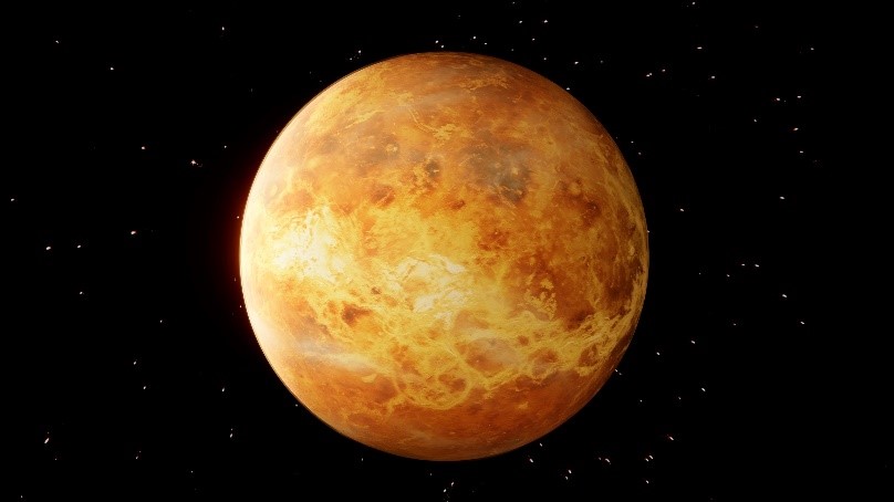
DAVINCI
About
Mandate
Significance

VERITAS Mission
About
Mandate
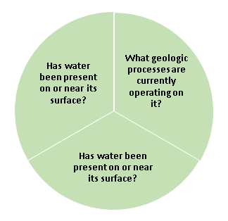
VERITAS will collect data to help answer these questions in several ways.
|
InSAR Interferometric synthetic aperture radar, abbreviated InSAR (or deprecated IfSAR), is a radar technique used in geodesy and remote sensing. This geodetic method uses two or more synthetic aperture radar (SAR) images to generate maps of surface deformation or digital elevation, using differences in the phase of the waves returning to the satellite or aircraft. The technique can potentially measure millimeter-scale changes in deformation over spans of days to years. It has applications for geophysical monitoring of natural hazards, for example earthquakes, volcanoes and landslides, and in structural engineering, in particular monitoring of subsidence and structural stability. |
|
MULTISPECTRAL IMAGING Multispectral imaging captures image data within specific wavelength ranges across the electromagnetic spectrum. The wavelengths may be separated by filters or detected with the use of instruments that are sensitive to particular wavelengths, including light from frequencies beyond the visible light range, i.e. infrared and ultra-violet. It can allow extraction of additional information the human eye fails to capture with its visible receptors for red, green and blue. It was originally developed for military target identification and reconnaissance. Early space-based imaging platforms incorporated multispectral imaging technology to map details of the Earth related to coastal boundaries, vegetation, and landforms.[2] Multispectral imaging has also found use in document and painting analysis. Multispectral imaging measures light in a small number (typically 3 to 15) of spectral bands.
|

Significance
|
PRELIMS PRACTICE QUESTION Q. Choose the correct answer with reference to the following statements. A. VERITAS will map the surface topography of Venus with a spatial resolution of 1000 m and 50m vertical accuracy, and generate radar imagery with 500 m spatial resolution. B. DAVINCI probe will travel through the Martian atmosphere, sampling the atmosphere, and returning measurements down to the surface. 1. A only 2. B only 3. Both A and B 4. Neither A nor B Answer: 4 |


© 2026 iasgyan. All right reserved


