Disclaimer: Copyright infringement not intended.
Context
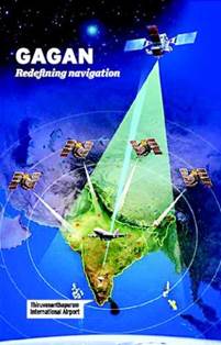
What is GAGAN?
Background
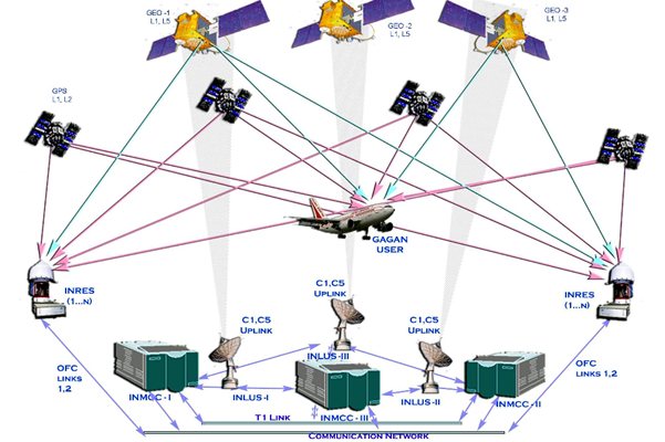
GAGAN Technology
Services Offered
Gagan applications

How it works?
Coverage Area


© 2026 iasgyan. All right reserved