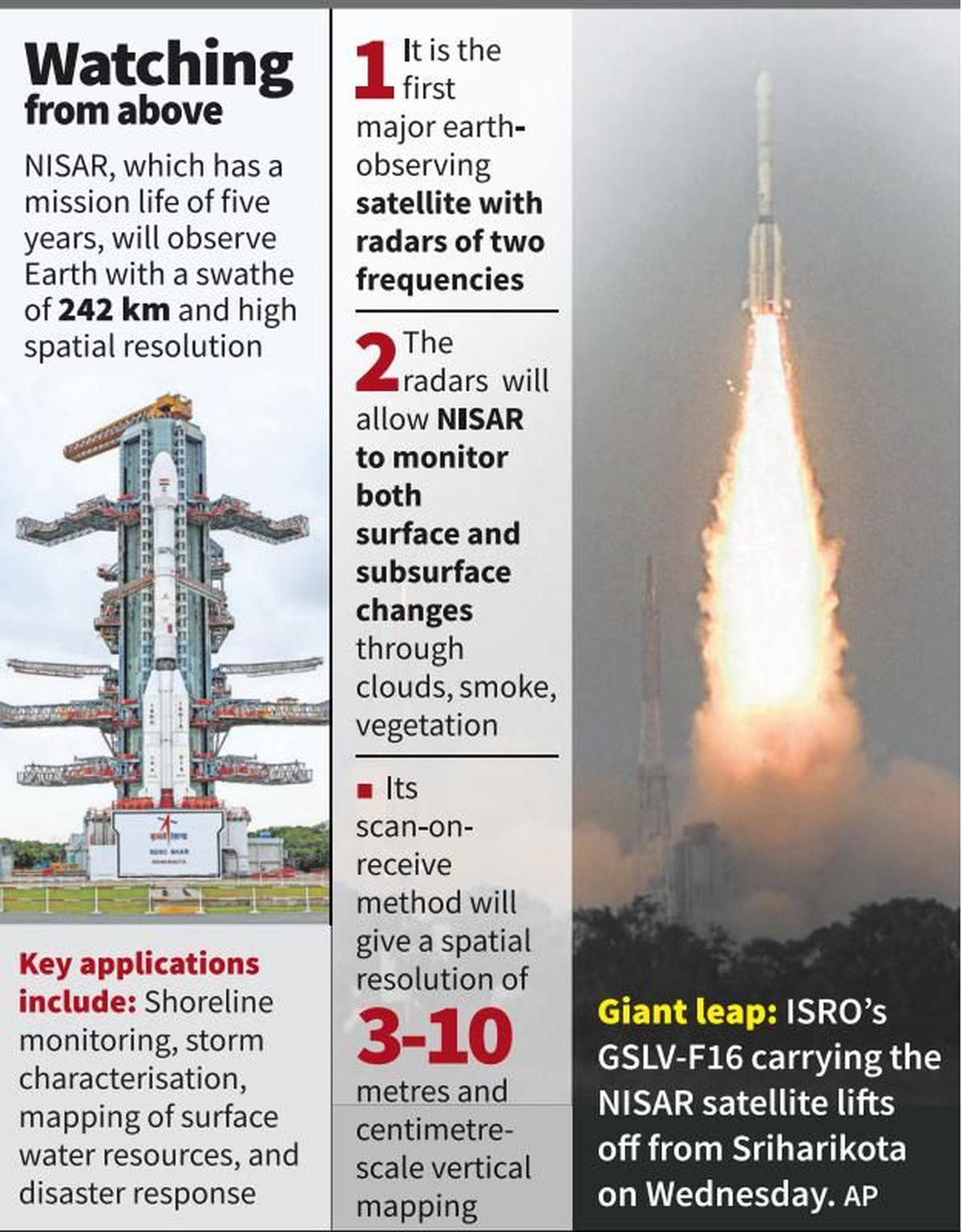
The NISAR mission is a joint venture between NASA and ISRO, launching a 2,392-kg satellite into orbit using ISRO's Geosynchronous Satellite Launch Vehicle. The satellite uses dual-frequency Synthetic Aperture Radar (SAR) technology to penetrate clouds and vegetation for continuous data collection. NISAR will aid in disaster management, climate change monitoring, resource mapping, and resource management.
Copyright infringement not intended
Picture Courtesy: MALAYALAMTV9
ISRO launched the NASA-ISRO Synthetic Aperture Radar (NISAR) satellite from the Satish Dhawan Space Centre, in Sriharikota, Andhra Pradesh.
It is the first joint mission of the National Aeronautics and Space Administration (NASA) and the Indian Space Research Organisation (ISRO).
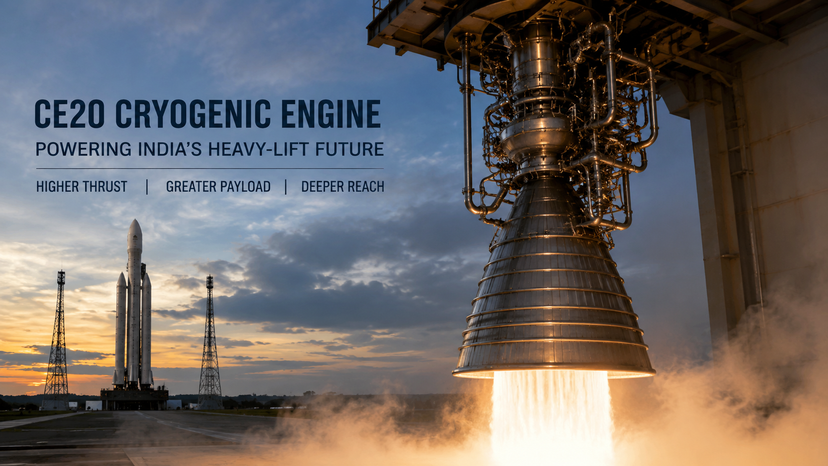
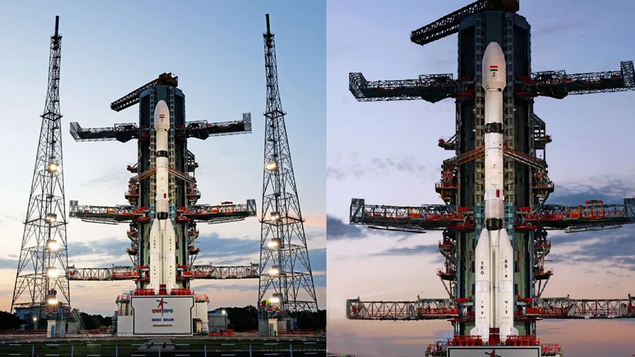
The 2,392-kg NISAR satellite will be carried into orbit by ISRO's powerful Geosynchronous Satellite Launch Vehicle (GSLV-F16).
Dual-Frequency Synthetic Aperture Radar (SAR) => First satellite globally to use a dual-frequency SAR system; carries two types of radar: L-band and S-band.
SweepSAR Technology => Allows to image a wide region (over 240 kilometers) with high resolution. It can image the entire Earth every 12 days.
GSLV-F16 => India's Geosynchronous Satellite Launch Vehicle (GSLV) Mark II, specifically the GSLV-F16, is the rocket that carried NISAR. It is the first time a GSLV has launched a satellite into a Sun-Synchronous Polar Orbit.
Orbit & Mission Life => NISAR orbits Earth at an altitude of 747 kilometers in a Sun-Synchronous Orbit.
 How will NISAR help India and the World?
Disaster Management => By detecting small shifts in the Earth's surface, NISAR can provide early warnings for potential earthquakes and landslides, helping relief agencies know where to send aid.
Climate Change Monitoring => NISAR tracks how ice sheets and glaciers are moving and melting, which directly impacts rising sea levels.
Resource Mapping & Management => Information related to Soil Moisture, Surface Water Resources will help farmers make better decisions about irrigation and crop planning.
All data from NISAR will be freely available one to two days after observation and within hours in case of emergencies like natural disasters.
Must Read Articles:
NISAR joint mission between NASA and ISRO
Source: THE HINDU
|
PRACTICE QUESTION Q. Consider the following statements in the context of the NISAR mission: 1. It is a joint Earth-observation mission between India and Russia. 2. The data collected by NISAR will be freely available globally. Which of the above statements is/are correct? A) 1 only B) 2 only C) Both 1 and 2 D) Neither 1 nor 2 Answer: B Statement 1 is incorrect: NISAR is a joint mission between NASA (USA) and ISRO (India). Statement 2 is correct: NISAR's open data policy ensures its data will be freely accessible worldwide. |
The NISAR mission aims to observe Earth's changing ecosystems, ice masses, and dynamic land surface to understand natural processes and climate change.
The NISAR project is a joint Earth-observing mission between NASA (National Aeronautics and Space Administration) of the USA and ISRO (Indian Space Research Organisation) of India.
NISAR is unique because it's the first satellite to use a dual-frequency Synthetic Aperture Radar (SAR) – L-band and S-band – for Earth observation.


© 2026 iasgyan. All right reserved