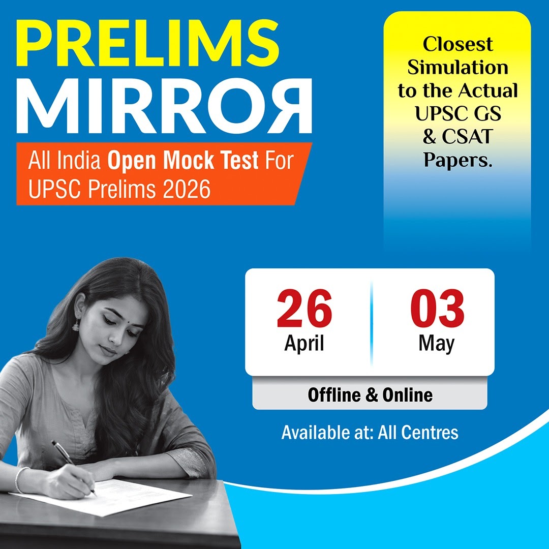
IAS Gyan

Daily News Analysis

Heli--borne geophysical mapping technique

31st August, 2021 Environment

Context:

  • Council of Scientific and Industrial Research (CSIR) in collaboration National Geophysical Research Institute (NGRI) have undertaken High Resolution Aquifer Mapping and Management in Arid Regions of North Western India to augment the groundwater resources
  • Council of Scientific and Industrial Research (CSIR) will help to utilise groundwater for drinking purposes and supplement Har Ghar Nal Se Jal Mission.
  • The entire work will be completed by 2025 with more than 1.5 lakh square kilometers of area with an estimated cost of 141 crores rupees.
  • Aim of this project: To map the potential sites for groundwater withdrawal and conservation.
  • Results will be used to meet the broader objectives of aquifer mapping, rejuvenation and management of groundwater resources in the arid areas.


Heli-borne geophysical mapping technique

  • Heli-borne geophysical mapping technique of CSIR-NGRI provides high resolution 3D image of the sub-surface up to a depth of 500 metres below the ground.
  • This technique is cost-effective, precise and is useful to map large areas within a short time to map the vast extent of groundwater resources in arid regions of our country.


https://newsonair.com/2021/08/30/mapping-groundwater-sources-by-csir-will-help-to-utilise-groundwater-for-drinking-purposes-dr-jitendra-singh/