Description
Disclaimer: Copyright infringement not intended.
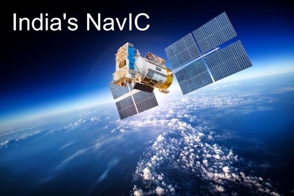
Context
- The Indian Space Research Organisation (ISRO) successfully accomplished its mission GSLV-F12/NVS-01.
READ ABOUT NaVIC: https://www.iasgyan.in/daily-current-affairs/navic-11
Details
- The space agency launched the NVS-01 navigation satellite on board its geosynchronous satellite launch vehicle (GSLV) and deployed it in a geosynchronous transfer orbit.
- NVS-01 is the first of India's second-generation NavIC ('Navigation with Indian Constellation') satellites that accompany enhanced features.
- The 2,232 kg navigation satellite features navigation payloads L1, L5, and S bands, including an indigenous atomic clock, a first of its kind.
What’s new in the second-generation NavIC satellite?
- Each of the seven satellites currently in the Indian Regional Navigation Satellite System (IRNSS) constellation, operationally named NavIC, weighed much less — around 1,425 kg — at liftoff. They all rode the lighter Polar Satellite Launch Vehicle (PSLV), ISRO’s workhorse launch rocket.
Other than that:
- Atomic Clock:The satellite will have a Rubidium atomic clock onboard, a significant technology developed by India. “The space-qualified Rubidium atomic clock indigenously developed by Space Application Centre-Ahmedabad is an important technology which only a handful of countries possess,” ISRO said in a statement.
- L1 signals for better use in wearable devices:The second generation satellites will send signals in a third frequency, L1, besides the L5 and S frequency signals that the existing satellites provide, increasing interoperability with other satellite-based navigation systems.
The L1 frequency is among the most commonly used in the Global Positioning System (GPS), and will increase the use of the regional navigation system in wearable devices and personal trackers that use low-power, single-frequency chips.
- Longer mission life:The second-generation satellites will also have a longer mission life of more than 12 years. The existing satellites have a mission life of 10 years.
What is the significance of the atomic clock on board the NVS-01 payload?
- Several of the existing satellites stopped providing location data after their onboard atomic clocks failed — this was the main reason for the launch of the replacement satellite in 2018.
- Since a satellite-based positioning system determines the location of objects by accurately measuring the time it takes for a signal to travel to and back from it using the atomic clocks on board, failure of clocks means the satellites are no longer able to provide accurate locations.
- Currently, only four IRNSS satellites are able to provide location services, according to ISRO officials. The other satellites can only be used for messaging services such as providing disaster warnings or potential fishing zone messages for fishermen.

Age of the satellites
- This is the second major concern, besides the failing atomic clocks.
- IRNSS-1A was launched into orbit on July 1, 2013, and the 1B and 1C satellites were launched in the following year. 1A is almost defunct — the failed 1H mission of 2018 was intended to replace this satellite — and all the three oldest satellites in the constellation are close to the end of their 10-year mission lives.
- At least three new satellites must be put into orbit to keep the seven-satellite constellation fully functional.
What is the advantage of having a regional navigation system?
- India is the only country that has a regional satellite-based navigation system. There are four global satellite-based navigation systems — the American GPS, the Russian GLONASS (GLObalnaya NAvigatsionnaya Sputnikovaya Sistema), the European Galileo, and the Chinese Beidou. Japan has a four-satellite system that can augment GPS signals over the country, similar to India’s GAGAN (GPS Aided GEO Augmented Navigation).
- Once fully operational — with ground stations outside India for better triangulation of signals — NavIC open signals will be accurate up to 5 meters and restricted signals will be even more accurate.
- GPS signals by contrast are accurate up to around 20 metres. Work is underway to set up ground stations in Japan, France, and Russia.
- NavIC provides coverage over the Indian landmass and up to a radius of 1,500 km around it. In this region, NavIC signals will likely be available in even hard-to-reach areas.
- Unlike GPS, NavIC uses satellites in high geo-stationery orbit — the satellites move at a constant speed relative to Earth, so they are always looking over the same region on Earth.
- NavIC signals come to India at a 90-degree angle, making it easier for them to reach devices located even in congested areas, dense forests, or mountains. GPS signals are received over India at an angle.
|
PRACTICE QUESTION
Q. Consider the following statements:
1. NavIC signals come to India at a 90-degree angle, making it easier for them to reach devices located even in congested areas, dense forests, or mountains.
2. NavIC provides coverage over the Indian landmass and up to a radius of 25000 km around it.
3. NavIC provides position accuracy better than 100 m and timing accuracy better than 50 nanoseconds.
4. NavIC uses satellites in high geo-stationery orbit.
How many of the above statements are correct?
a) Only one
b) Only two
c) Only three
d) All of the above.
Answer: b) Only two
Explanation:
Statement 1 is correct.
Statement 2 is incorrect: NavIC provides coverage over the Indian landmass and up to a radius of 1500 km around it.
Statement 3 is incorrect: NavIC provides position accuracy better than 20 m and timing accuracy better than 50 nanoseconds.
Statement 4 is correct
|
https://indianexpress.com/article/explained/explained-sci-tech/new-navic-satellite-launching-today-why-a-regional-navigation-system-matters-to-india-8633947/