India must bridge the gap between AI monitoring and institutional readiness by refining algorithms, empowering local governance, and utilizing CAMPA funds to ensure satellite alerts translate into the effective conservation action needed for its 2030 climate targets.
Copyright infringement not intended
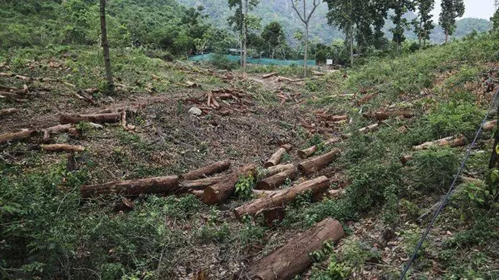
Picture Courtesy: INDIANEXPRESS
Context
The Forest Survey of India (FSI) has halted its advanced, AI-driven "Anavaran-Deforestation Alert System," which was designed to provide near-real-time fortnightly alerts on forest cover loss to states.
What is Anavaran?
Anavaran is an AI-based Deforestation Alert System developed and launched by the Forest Survey of India (FSI) in 2024, to provide near real-time monitoring of forest cover loss across India.
Key Features and Technology
Monitoring Frequency: It issued location-specific alerts every 15 days, allowing state forest departments to conduct targeted inspections.
Satellite Integration: The system utilized Sentinel-2 optical satellite imagery as its primary data source.
All-Weather Capability: To overcome cloud cover during monsoon seasons, it integrated Sentinel-1 Synthetic Aperture Radar (SAR) data.
Platform: The entire alert system was built on the Google Earth Engine (GEE) platform and used machine learning algorithms to identify deviations in forest cover compared to historical seasonal averages.
Reasons for Suspending the System
State-Level Capacity Deficits
State forest departments often lack the manpower, resources, and mobility to conduct rapid, on-the-ground verification of numerous alerts every 15 days.
Algorithmic Inaccuracies
The AI model struggled to distinguish between genuine illegal logging and natural seasonal changes like leaf-shedding, leading to a high rate of 'false positives' and the wasting of limited forest official resources.
Technology-Governance Disconnect
System-generated data lacked corresponding on-ground enforcement capacity (staff, funding, protocols), preventing alerts from translating into effective action. Technology alone cannot fix governance deficits.
Way Forward
Decentralize Alert Dissemination
Integrate the alert system with the Forest Rights Act (FRA), 2006. Share simplified alerts directly with local bodies like Joint Forest Management Committees (JFMCs) and Gram Sabhas to leverage community participation for verification and protection.
Upgrade Ground Infrastructure
Utilize CAMPA (Compensatory Afforestation Fund Management and Planning Authority) funds to equip field staff with modern tools like drones and rapid-transit vehicles, to verify alerts, reducing the need for physical checks.
Refine the Algorithm
The FSI must retrain its AI models using localized ecological data to account for diverse forest types and seasonal cycles (phenology), thereby reducing false positives.
Learn Lessons from Global Best Practices
Brazil’s DETER System
Brazil's DETER system offers daily Amazon deforestation alerts. Its effectiveness stems from the direct institutional link between the data source and the enforcement agency, which uses the alerts for immediate raids.
Peru’s Terra-I System
Peru uses a community-centric alert system. Sending satellite alerts directly to incentivize indigenous forest communities, rather than only government officials, reduced tree cover loss, empowering local first responders.
Conclusion
India must pair AI-driven satellite monitoring with stronger institutional capacity and local empowerment to ensure deforestation alerts translate into the effective conservation action needed to meet the 2030 carbon sink targets.
Source: INDIANEXPRESS
|
PRACTICE QUESTION Q. "Technological innovation in environmental governance is futile without corresponding institutional readiness." Discuss. 150 words |
The Anavaran portal is an AI-driven, near-real-time deforestation alert system launched by the Forest Survey of India (FSI) to provide fortnightly alerts to state governments regarding forest cover loss.
The FSI halted the system due to state-level capacity deficits to physically verify the high volume of alerts, algorithmic false positives that mistook natural seasonal shedding for illegal logging, and a lack of funding for ground enforcement to match the technology-generated data.
The system utilized the Google Earth Engine platform, processing Sentinel-2 optical satellite images for tracking canopy cover, and integrated Sentinel-1 Synthetic Aperture Radar (SAR) data for all-weather, year-round monitoring.


© 2026 iasgyan. All right reserved