


 Disclaimer: Copyright infringement not intended.
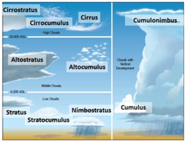
Generally speaking, there are ten main types of clouds you’ll see in the sky, and we discuss each of them below. For each of these different types of clouds, we’ve included a picture of the cloud, a short description, and the following additional information:
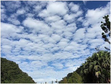
Altocumulus clouds are fairly common clouds that look like round white or gray patches in the sky. They are sometimes grouped in parallel lines and have been described as looking similar to tufts of wool or fish scales.
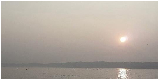
These clouds form a white or gray layer that blankets the sky at mid-level. There are usually no patches of blue sky when these clouds appear, but the sun is often visible as a dimly lit disk behind the clouds (although no shadows appear on the ground).
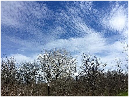
Cirrocumulus clouds are much smaller than most other types of clouds, and they are sometimes called cloudlets. They are found at high altitudes and are made of ice crystals. They often are arranged in parallel rows. They are one of the rarer types of clouds and usually don’t last long.
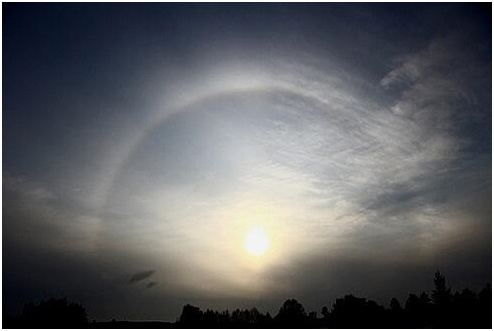
These are transparent, wispy clouds that cover most or all of the sky. The best identifier for cirrostratus clouds is a halo or ring of light surrounding the sun or moon.
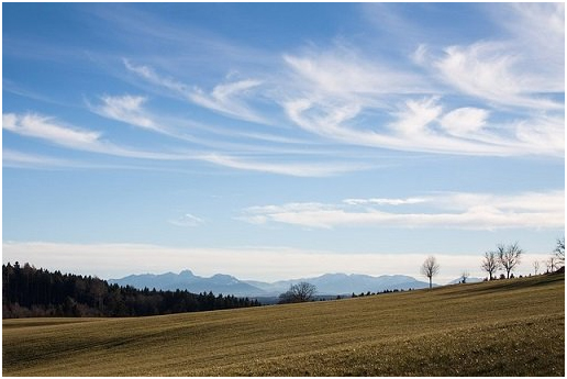
Wispy clouds located high in the atmosphere are likely cirrus clouds. They are thin and white with lots of blue sky visible. They can occur in fair weather or when a warm front or large storm is approaching.
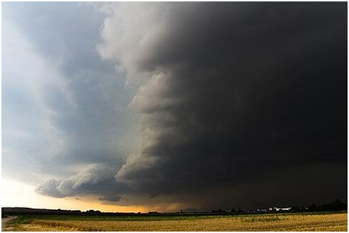
Cumulonimbus are the classic “thunderstorm clouds” and are large towering clouds that are often dark in color. Seeing them is a sign that a storm is likely on its way. They can be very large, appearing like a mountain (sometimes with a flat top).

The puffy cloud - cumulus clouds are dense individual clouds that are bright white on top and gray underneath. They typically appear earlier in the day when it’s sunny.
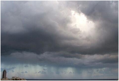
Nimbostratus clouds form a thick, dark layer across the sky. They are often thick enough to blot out the sun. Like cumulonimbus clouds, they are associated with heavy precipitation, but, unlike cumulonimbus, you can’t pick out individual nimbostratus clouds.
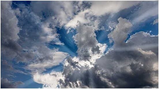
Stratocumulus clouds are somewhat similar to cumulus clouds but are flatter, thicker, and darker. There is less blue sky between the clouds, and the weather will appear more cloudy than sunny.
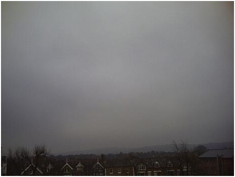
Similar to fog (but on the horizon instead of on the ground), stratus clouds are a gray featureless layer of clouds that cover all or most of the sky.
© 2026 iasgyan. All right reserved