Description
Copyright infringement is not intended
Context: Union Government launched SMS sending functionality to inform MPs/MLAs about the initiative of drone flying in their constituency under SVAMITVA Scheme.
Details:
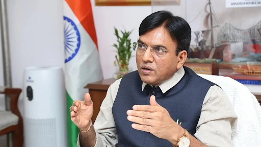
- The Union Minister for Panchayati Raj and Rural Development launched the new functionality developed wherein SMS will be rolled out to MPs and MLAs informing about the beginning of drone flying in their respective Constituency scheduled for survey under the SVAMITVA scheme.
- This new functionality will help in wider outreach and transparency of the scheme. With the involvement of Elected Representatives (ER) it will provide confidence among the masses about scheme implementation.
SVAMITVA Scheme:
- SVAMITVA stands for ‘Survey of Villages Abadi and Mapping with Improvised Technology in Village Areas’.
- SVAMITVA Scheme was launched in 2020 under the Ministry of Panchayati Raj.
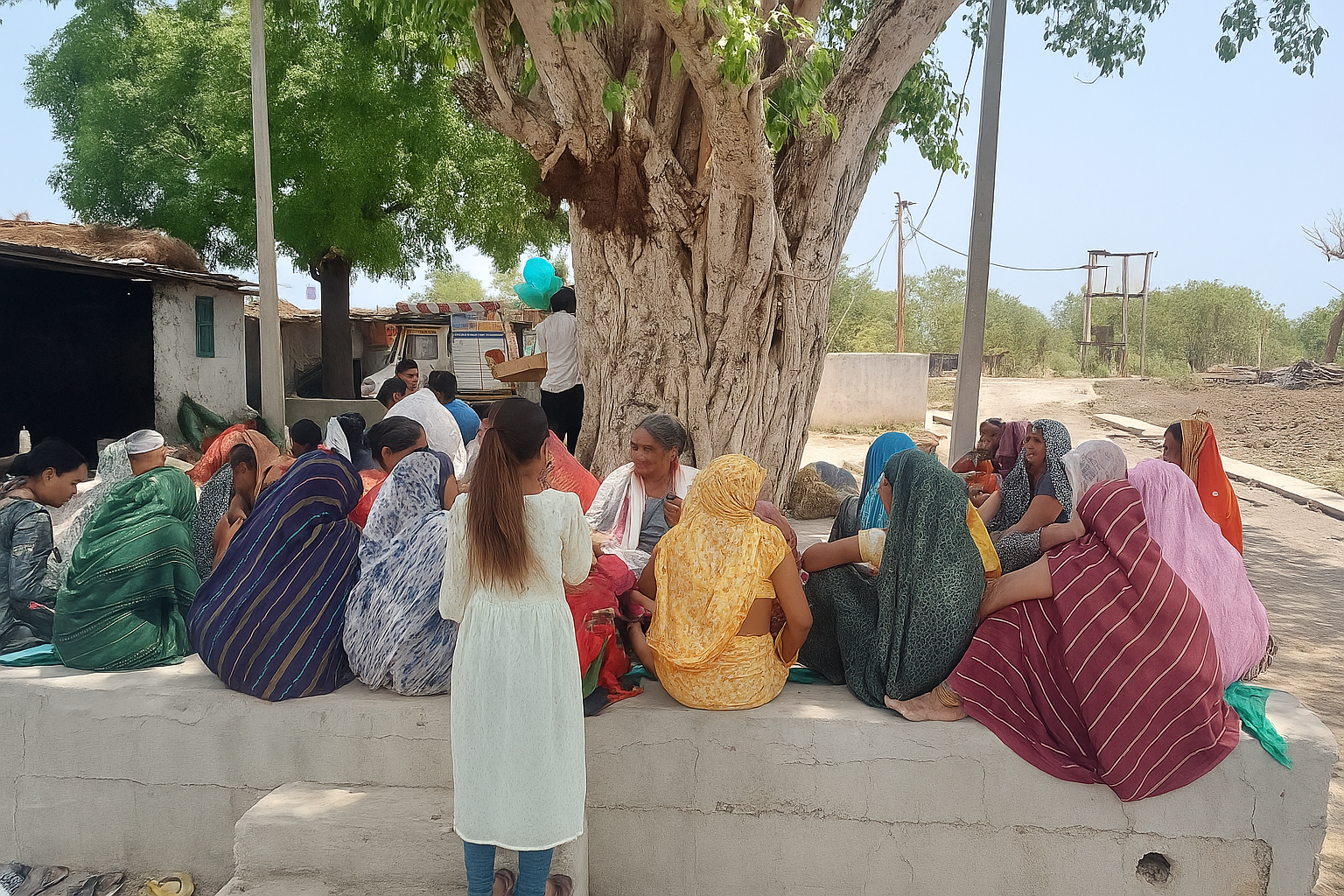
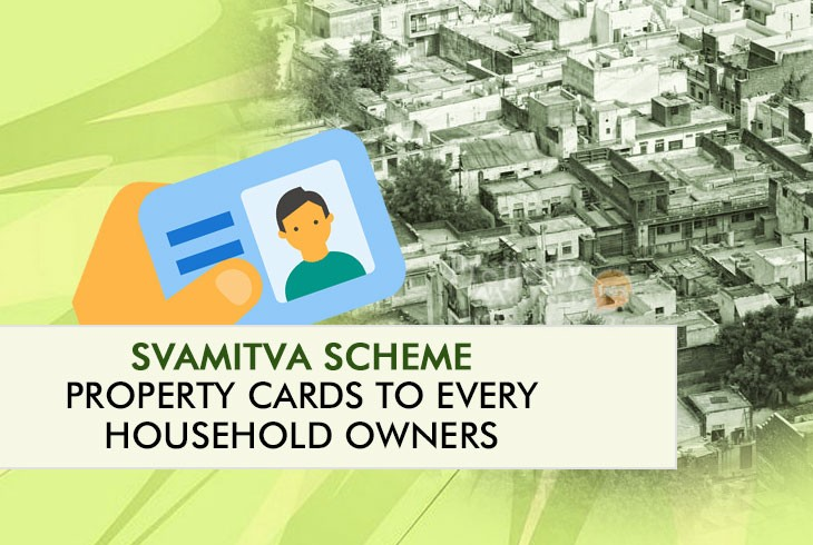
- It aims to provide Record of Rights/Property Cards in rural areas through surveying drone technology.
- It aims to cover all the villages by 2025.
Expected outcome of SVAMITVA Scheme:
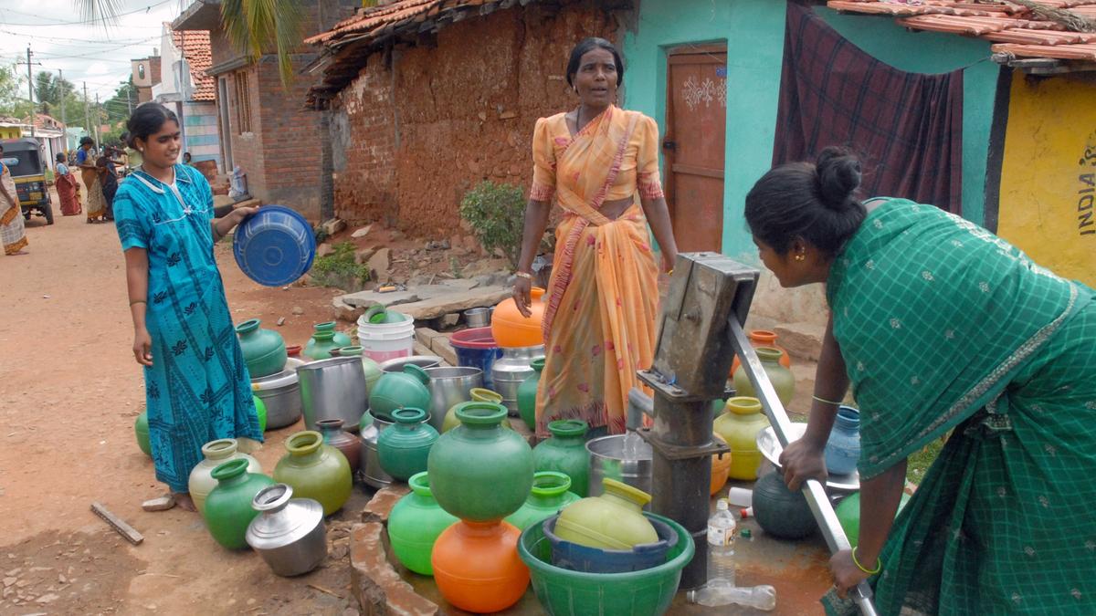
- It will help in creating accurate land records for rural planning and reduce property related disputes.
- It will bring financial stability in rural India by enabling people to use their property as a financial asset for taking loans and other financial benefits.
- It will help in improving rural area governance, proper assessment of property tax, and also help the government in the implementation of welfare schemes.
Present Status:
- Digital mapping through Drones has been completed in more than 1,10,000 villages in 28 States and UTs.
- Digital mapping has been completed in all the villages of Haryana, Dadra Nagar Haveli, and Daman & Diu.
- Nearly 41 Lakh property cards have been prepared and 36 Lakh property cards have been distributed.
Significance of SVAMITVA Scheme:
- The digitization of land records will provide tamper-proof evidence of land ownership, and this will also reduce land related disputes.
- Digital mapping under SVAMITVA Scheme has promoted the drone ecosystem in the country.
- Increasing use of Drones will boost manufacturing industries, drone pilots and training institutes.
- It will promote MSMEs and Start-ups in the country.
- It will provide employment opportunities.
- Availability of digitized maps will support innovation in this sector.
Steps taken by government:
- Government started Unique Land Parcel Identification Number (ULPIN) to facilitate IT-based management of land records. ULPIN is a unique ID of 14 digits for every plot of land in the country based on the longitude and latitude coordinates of the land.
- Government development National Generic Document Registration System (NGDRS) with the aim of `One-Nation One-Registration Software` will reduce the cost, time and number of visits required for the registration of land related documents.
- Government initiated a programme to promote Multilingual Land Records to provide land records in any of the 22 languages recognized by the Constitution.
Way forward:
- The scheme will help in facilitating monetization of properties and enabling bank loans, reducing property related disputes, and supporting village level planning.
- It is the right step taken in the direction of achieving Gram Swaraj and making rural India AtmaNirbhar.
https://www.pib.gov.in/PressReleasePage.aspx?PRID=1804849