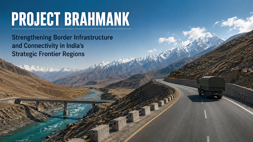
India is accelerating the deployment of dedicated military satellites to enhance real-time border surveillance, intelligence, and secure communication, especially along the China and Pakistan frontiers. This move aims to strengthen national security, bridge surveillance gaps exposed during incidents like the Galwan clash, and prepare for multi-domain warfare amidst growing global space militarisation.

Disclaimer: Copyright infringement not intended.
Govt. builds on lessons from Operation Sindoor where satellite surveillance proved to be an important asset.
India’s efforts to strengthen national security are undergoing a significant transformation through the accelerated development and deployment of military-grade surveillance satellites. In light of evolving border challenges — particularly along the northern frontier with China and western front with Pakistan — India is giving renewed emphasis to space-based defence infrastructure, aimed at enhancing real-time intelligence, surveillance, and reconnaissance (ISR) capabilities.
Recent developments, particularly the 2020 Galwan Valley clash, have highlighted gaps in India’s border surveillance network. Traditional ground-based methods are limited by terrain, weather, and logistical constraints. With rising incidents of transgressions, incursions, and increased deployment by adversaries, round-the-clock, real-time monitoring is essential.
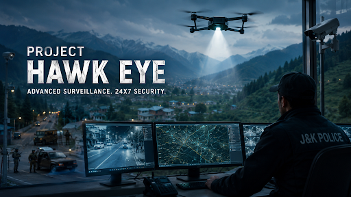
Military satellites offer a persistent and wider field of view. They are capable of observing vast, remote regions such as the Himalayan belt, detecting enemy troop movements, and even tracking infrastructure developments on the other side of the border.
India already operates a few dual-use satellites, such as Cartosat and RISAT series, which support both civilian and military purposes. However, these are inadequate for comprehensive military needs.
The push now is for dedicated military satellites — with high-resolution optical and synthetic aperture radar (SAR) imaging, all-weather, day-night capabilities, and faster data relays to armed forces.
Fast-tracking satellite launches will significantly improve:
India has already established the Defence Space Agency (DSA) and Defence Space Research Organisation (DSRO) for space warfare and military applications. These institutions are tasked with integrating space assets into India's defence doctrine.
Additionally, ISRO, in coordination with the armed forces, is working on:
Reports suggest that at least two to three new military satellites are in the pipeline, with expedited timelines.
Despite progress, certain obstacles persist:
Space is increasingly seen as the fourth dimension of warfare, alongside land, air, and sea. Nations like the United States, China, and Russia have already established dedicated space commands. China's Yaogan series satellites, believed to support PLA’s military operations, give it an edge in terms of persistent border visibility.
India’s recent moves — such as the Mission Shakti ASAT test in 2019 and expansion of space infrastructure in defence — indicate a shift towards asserting space dominance.
To maintain a credible deterrence and ensure national security, India should:
Space has emerged as a decisive arena in modern strategic competition. By fast-tracking military satellites, India is not only bridging critical gaps in surveillance and communication but also taking concrete steps toward developing a comprehensive and integrated national defence architecture. This move is essential to secure India’s borders and prepare for the emerging nature of hybrid and multi-domain warfare.
Source: The Hindu
|
PRACTICE QUESTION Q. Which of the following is the primary advantage of using military-grade surveillance satellites over traditional ground-based methods for India’s border management?
Answer: B Explanation: Military-grade satellites, unlike ground-based methods, offer persistent, wide-area surveillance, especially in difficult terrains like Ladakh and Arunachal Pradesh, and provide day-night, all-weather monitoring essential for real-time border intelligence. |

© 2026 iasgyan. All right reserved