Description
Disclaimer: Copyright infringement not intended.
Context
- The Indian Landslide Susceptibility Map is the first of its kind by virtue of being on a national scale, leaving out no location in the country.
About National Landslide Susceptibility Map
- Detailed Mapping: This high-resolution map presents a comprehensive view of landslide susceptibility throughout India with a resolution of 100 square meters, identifying areas not recognized before.
- Identification of New Risk Areas: The map not only identifies traditional high-risk zones but also reveals previously unrecognized regions of concern, expanding the range of areas requiring landslide monitoring.
- Innovative Analysis Technique: The mapping utilized an ensemble machine learning approach to improve prediction accuracy and fill data gaps in unexplored regions.
- Benefits of Ensemble Models: This approach skillfully integrates multiple models, offering a more dependable assessment of landslide risks.
Data Collection and Analysis Procedure
- Thorough Data Compilation: Scientists gathered information on approximately 150,000 landslide occurrences from diverse outlets, incorporating data from sources such as the Geological Survey of India.
- Recognition of Contributing Elements: Utilizing tools like GeoSadak for remote data collection, the research team identified 16 crucial factors influencing the susceptibility to landslides.
.jpg)
Significance for Disaster Response
- Valuable Resource for Stakeholders: The map acts as a crucial tool for governmental bodies, disaster management agencies, and organizations dedicated to mitigating landslide risks.
- Improving Preparedness and Planning: It will streamline vulnerability assessments, aid in infrastructure planning, and support the implementation of mitigation strategies.
Rationale for the Map
- Perpetual Hazard: Landslides, impacting a significant yet limited portion of India, pose a recurring threat, particularly in mountainous areas.
- Management Challenges: The localized and sporadic occurrence of landslides has historically impeded effective monitoring and prediction, emphasizing the necessity for a comprehensive mapping solution.
Future Initiatives and Public Accessibility
- Establishing an Early Warning System: Building upon the map, endeavors are in progress to establish a comprehensive Landslide Early Warning System.
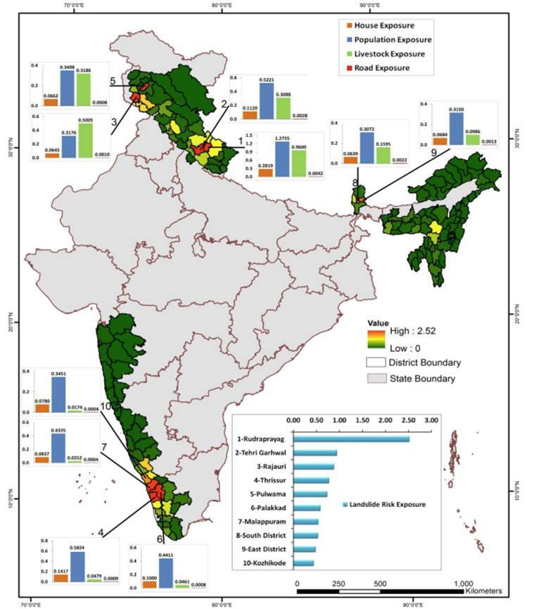
- Cartogram for Infrastructure Vulnerability: Work is ongoing to develop a cartogram that identifies vulnerable infrastructure.
- Accessible to the Public: The map and its data will be available through a web interface, encouraging public interaction and awareness.
|
PRACTICE QUESTION
Discuss the challenges and implications of landslide risk in India. Highlight the significance of recent advancements in high-resolution mapping and technological approaches in addressing the persistent threat of landslides.
|


