Disclaimer: Copyright infringement not intended.
Context
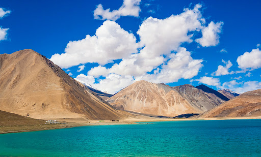
Geography
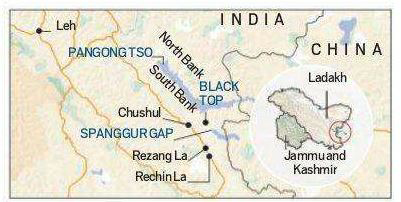
Pangong Tso and LAC
Recognition
https://epaper.thehindu.com/Home/ShareArticle?OrgId=GL09C0ONP.1&imageview=0


© 2026 iasgyan. All right reserved