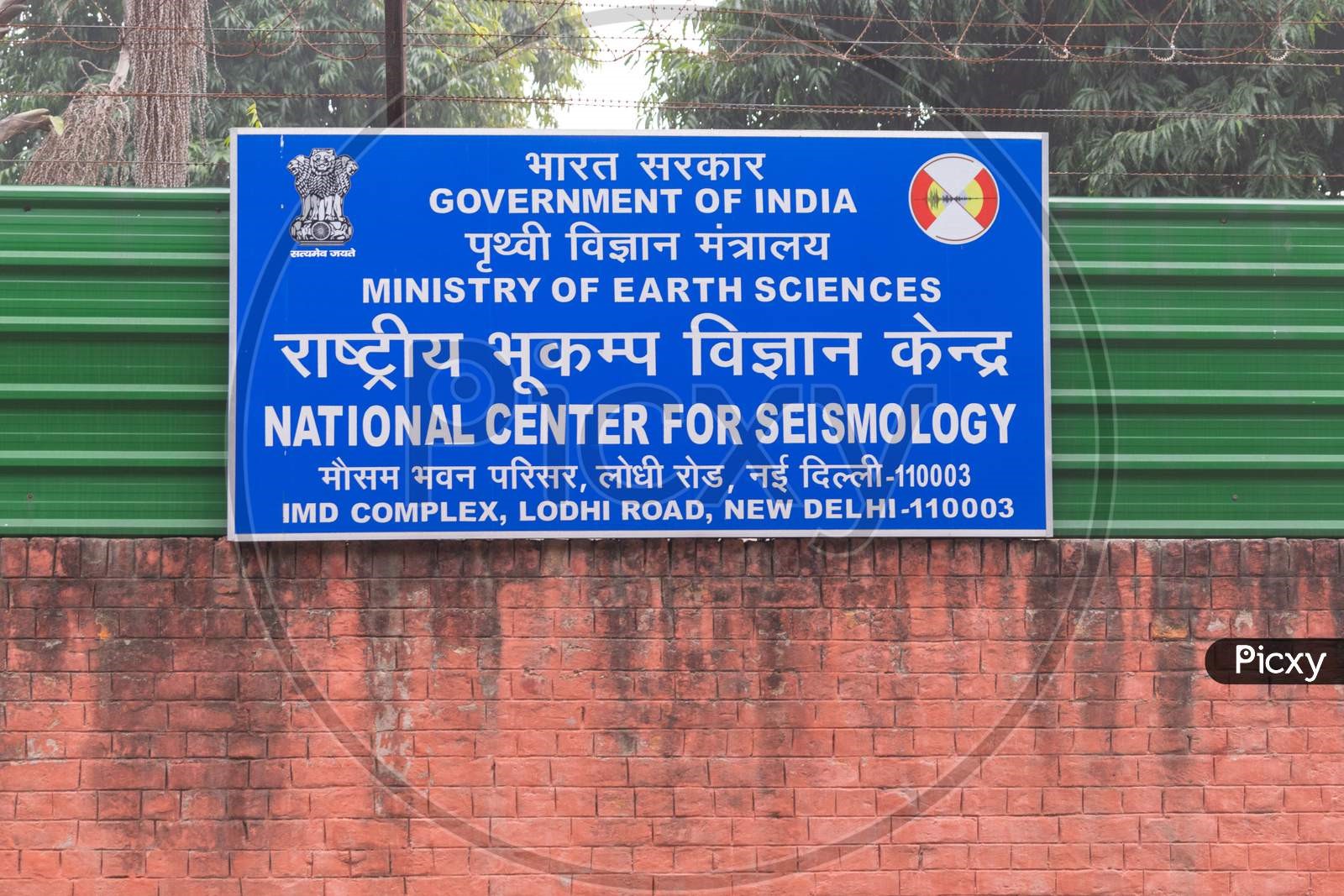
Description

Disclaimer: Copyright infringement not intended.
Context
A magnitude 3.9 earthquake hit Jammu and Kashmir's Kishtwar district in the early hours of Thursday, officials said. There were no reports of any loss of life or damage to property, they added.
The earthquake, with its epicentre near Kishtwar, occurred at 12.38 am, the National Centre for Seismology said.
About National Centre for Seismology
- The National Centre for Seismology (NCS) serves as the primary agency of the Indian government responsible for monitoring earthquake activity and conducting seismological research within the country.
- Operating as an attached office under the Ministry of Earth Sciences (MOES), NCS plays a crucial role in overseeing earthquake occurrences nationwide.
- The center operates a 24x7 monitoring center to enhance comprehension of earthquake source processes and their impact on building a society resilient to earthquakes.
- NCS encompasses different divisions, including Earthquake Monitoring and Services, Earthquake Hazard and Risk Assessments, and Geophysical Observation Systems.
- It operates and maintains the NSN, or the National Seismological Network. The NSN consists of 153 seismological observatories spread across the country.
- NSN is capable of recording earthquakes and events of magnitude (M)≥2.5 in and around Delhi, M≥3.0 for the North East (NE) region, M≥3.5 in the peninsular and extra-peninsular areas, and M≥4.0 in border regions.
- Whenever an earthquake occurs in the country, its information is immediately disseminated by NCS to a variety of user agencies, including disaster management authorities.
- The NCS shares this information via earthquake bulletins within five minutes of an earthquake.
- It is also involved in the monitoring of aftershock and swarm activity, if occurred, throughout the country.
- Another important activity implemented by the NCS is microzonation. It is a site-specific study that provides a more realistic and reliable representation of ground motion characteristics.
- It is useful in land use and urban planning, as well as in retrofitting of existing buildings.

|
PRACTICE QUESTION
Q. Discuss the role and significance of the National Centre for Seismology (NCS) in monitoring and disseminating information about earthquake activity in India.
|


