Description
 Disclaimer: Copyright infringement not intended.
Context
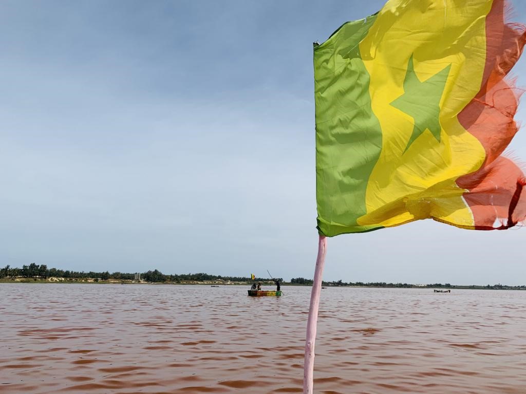
Senegal’s pink lake is on the verge of disappearing.
Details
Pink lake
- Location: Lake Retba, better known as Lac Rose (the Pink Lake), is located around 35km from the city of Dakar, Senegal. It sits in a depression with a shoreline 6.5 metres below sea level.
- The lake is isolated from the sea by about 1km of sand dunes. Its fresh water comes from the seasonal water table in the dunes, which are higher than the lake. Thus the sea provides most of the lake’s water and all of its salt.
- The lake’s waters are virtually devoid of life, with the exception of a few microscopic algae and bacteria.
Significance
- The Pink Lake is one of the main tourist destinations in the Dakar region, primarily because of the pink colour of its waters.
- Apart from tourism, artisanal salt mining has been one of the dominant activities around the lake. This activity involves between 1,500 and 3,000 people, with an estimated annual production of 140,000 tonnes in 2010, sold throughout the country and in some neighbouring countries.
Wildlife:
- Despite the high salinity of the lake, which can reach as high as 350 g/L during the dry season, blackchin tilapiahave been found living in brackish sections fed fresh water by an intermittent creek.
World Heritage listing:
- Lake Retba has been under consideration by UNESCO as a World Heritage Site since October 2005
Why does the water turn pink?
- The pink coloration is due to the proliferation of halophilic green algae (living in a salty environment), Dunaliella salina, which contain red pigments.
- The alga is associated with halophilic bacteria of the genus Halobacterium. This microscopic alga’s resistance to salt comes from its high concentration of carotenoid pigments, which protect it from light, and its high glycerol content.
- In fact, Dunaliella salinacontains at least four antioxidant pigments (beta-carotene, astaxanthin, lutein and zeaxanthin), which are rich in vitamins and trace elements. When salinity is high, algae with red pigments thrive, and when salinity is low, they give way to other algae rich in green pigments.
Challenges
- Today, salt accumulation poses several challenges for the lake, affecting both its southern and northern shores.
- On the southern shore, the drainage channel created in August 2022 for the disposal of wastewater and rainwater from the surrounding suburbs has led to:
- The introduction of solid particles contributing to the lake’s filling in.
- The dilution of the water, with a low salinity that prevents salt harvest and is incompatible with the development of the green alga Dunaliella salina. (The high salinity of the water conditions the development of this alga.)
- The northern shore is the most sensitive part of the lake for several reasons:
- Motorized traffic poses a threat to the stability of the dunes anchored by a stand of ageing casuarina trees. The destruction of these trees would lead to the encroachment of quicksand into the depression.
- The lake’s water supply through the dunes: given that these aquifers (fresh and salt water) are very shallow, their quality is susceptible to the rapid urbanisation in this northern part.
- Ponds are scattered across this area, situated on the northern part of the former channel that once connected the lake to the sea.
- Now, the dunes fill the northern part of the channel. The channel, like the ponds, is not man-made but of natural origin. The northern part of the ponds was subsequently filled in by sand from the dunes, while the southern part remains as ponds.

Threat of extinction
- Chemical Pollution: Researchers reveal extremely high levels of nitrates in May 2023: 12,491.71 to 15,394.75 mg/l compared with 5.82 to 12.05 mg/l in December 2022.
- The nitrate limit set by the World Health Organization (WHO) is 50 mg/l for water to be considered potable.
- This sudden increase in nitrate levels is believed to be associated with the establishment of hotels in the immediate vicinity of the lake and ponds, and to the rapid, uncontrolled urbanisation of this northern part of the lake, which has no sewage system.
- These polluted waters flow into the lake, eventually reaching the salt, rendering it unsuitable for consumption.
- The quality of the salt therefore needs to be checked regularly when salt mining operations resume.
- Exploitation: The supply of salt to the lake through the dunes is a permanent phenomenon and amounted to around 360,000 tonnes per year according to the results of study in 2008-2009. This salt deposit was higher than the exploitation rate estimated at around 100,000 tonnes per year at the time.
- Contrary to popular belief, salt extraction has never been detrimental to the lake’s survival, but rather prevents it from filling up.
- There is also fraudulent exploitation of the shell middens that surround the lake and of the dune sands as building materials.
Way ahead
To put an end to the threats facing the lake and preserve it, the authorities should:
- Prohibit the mining of shell middens, which act as paving stones and protect the soil from erosion
- Prohibit the exploitation of dune sand, which acts as a barrier between the sea and the lake
- Control farming and gardening activities by avoiding their establishment on the immediate slopes of water points, the construction of tourist facilities and the exploitation of salt to avoid exceeding the maximum limit
- Rehabilitate the belt of casuarina trees that stabilise the dunes
- Ban urbanisation and tourist facilities on the dunes separating the lake from the sea
- Implement integrated management that benefits both wildlife for which the lake serves as a “resting place” and the local population, as well as environmental education and awareness-raising.
|
PRACTICE QUESTION
Q. Lake Retba often mentioned in news recently, is located in which of the following country?
A. Guinea
B. Senegal
C. Liberia
D. Morocco
Answer B
|